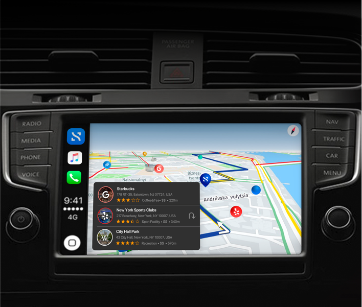
Our recent experimentation with Apple CarPlay has proven that our product can easily be used as a navigational device that helps you drive-to stops.
It’s a boring video. OK. We get it! But it’s further proof that Stops geo-based search engine can work across multiple platforms and devices.
Imagine now the ability to people to create a stop from either your smartphone or desktop, or receive a location while in transit, and easily be able to get to all of your data and also see public data sets that give context for your own.
For example, with Stops if you manage multiple locations (eg. a chain of restaurants) as you get-to the location, relevant, private cloud data loads up automatically for that location, giving you quick access to your Employee List, active Spreadsheets and collaboration Docs, location images, warranties and other files associated with the location.
At the same time you get rich context for the location you are going to, allowing you to assess the location’s value and the impact that public geo-based content has on the location itself.
Check out our experimentation with Microsoft HoloLens.
Check our our prototype for Apple Watch.
Overall, we’re happy with our success with building this prototype for Apple CarPlay and have mixed emotions about Apple’s limitations on new developers (other than billion dollar companies) to utilize their SDK. When they’re ready, we’re ready.